San Antonio, August 28, 2025
News Summary
A weak cold front is expected to move through San Antonio Friday afternoon, resulting in scattered showers and isolated thunderstorms over the Labor Day weekend. This weather pattern will lower temperatures slightly and enhance rain chances from late Friday to Monday, with some areas potentially experiencing heavy rainfall and localized flooding. Average rainfall of 0.1 to 0.25 inch is predicted, with higher totals possible in the Hill Country and north of Highway 90. Community members are advised to prepare for changing weather conditions.
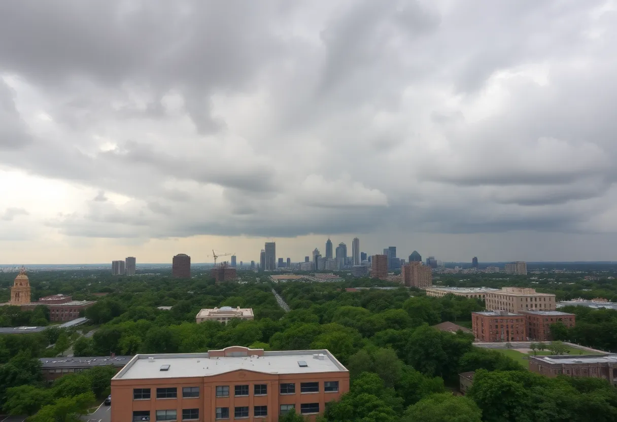
San Antonio — A weak cold front is expected to move through Texas Friday afternoon, bringing an active pattern of scattered showers and isolated thunderstorms into the Labor Day weekend for San Antonio and much of Central Texas. The front will lower temperatures slightly and increase rain chances from late Friday through Monday, with isolated areas at risk of heavy rainfall and localized flooding.
What’s happening now
The approaching cold front will push south into the region Friday, increasing moisture and triggering scattered showers and isolated storms through the Labor Day holiday. Rain coverage will be scattered rather than widespread, but some storms could become strong enough to produce heavy rainfall and localized flooding. Forecast guidance indicates average rain amounts between 0.1 and 0.25 inch, with cumulative totals up to 1 inch in many places and isolated pockets, especially north of Highway 90 and in the Hill Country, possibly exceeding 2 inches.
Immediate impacts and risks
- Timing: Rain chances increase late Friday and continue into Sunday and Monday as the front lingers.
- Flooding: Localized flooding is possible in areas that receive heavier, slow–moving storms.
- Storm intensity: Most activity will be scattered; isolated storms may become strong.
- Temperatures: Slightly cooler air will arrive with the front. Afternoon highs are expected to fall into the low-90s early next week with morning lows in some Hill Country locations dropping into the 60s.
Daily forecast summary
| Day | Low | High | Rain Chance | Conditions |
|---|---|---|---|---|
| Wednesday Night | 74°F | — | 10% | Mostly clear, slight evening thunderstorm chance |
| Thursday | 76°F | 100°F | — | Mostly sunny, heat index up to 104°F |
| Friday | 76°F | 99°F | 20% (evening) | Sun to partly sunny, late increase in showers |
| Saturday | 77°F | 99°F | 30% | Mostly sunny, afternoon storms possible |
| Sunday | 76°F | 96°F | 40% (day) / 30% (night) | Partly sunny, higher rain potential |
| Monday (Labor Day) | 74°F | 94°F | 20% | Partly cloudy, scattered showers/storms possible |
| Tuesday | 75°F | 95°F | 20% | Continued low-end shower/storm chance |
Where rain is most likely
Higher rainfall totals are expected north of Highway 90, particularly across the Hill Country (Rocksprings, Llano, Fredericksburg, Kerrville). Morning lows in those Hill Country towns are forecast to drop into the 60s through the weekend, reflecting the cooler air mass moving in behind the front.
Technical drivers
An area of high pressure retreating to the east will allow enhanced low-level moisture to return into the region ahead of and along the cold front. This setup favors scattered convective showers and isolated thunderstorms rather than a single large system. The front itself will be the main forcing mechanism late Friday into the holiday weekend, with lingering frontal boundaries helping maintain elevated rain chances into Sunday and Monday.
Key features at a glance
| Feature | Detail |
|---|---|
| Front timing | Moves through Friday afternoon into evening |
| Rain coverage | Scattered showers and isolated thunderstorms |
| Average rainfall | 0.1–0.25 inch; cumulative up to 1 inch common |
| Higher totals | Isolated areas, Hill Country, over 2 inches possible |
| Temperature change | Afternoon highs drop to low-90s early next week; some mornings in the 60s in Hill Country |
Timeline
| Date / Time | Event | Status / Source |
|---|---|---|
| Late Friday afternoon | Weak cold front pushes into Central Texas | Forecast |
| Friday evening | Scattered showers and isolated storms develop, move south into San Antonio | Forecast |
| Saturday | Active pattern of scattered showers and isolated storms | Forecast |
| Sunday–Monday (Labor Day) | Rain chances increase; lingering front raises storm potential | Forecast |
| Early next week | Slightly cooler afternoons in the low-90s | Forecast |
Quick visual: rain chance this week
Preparedness notes
Expect scattered storms rather than continuous rain. Plan outdoor Labor Day activities with flexibility and monitor localized forecasts if heavy downpours could affect roads or low-lying areas. Be aware that localized flooding can occur with slow-moving storms, especially in the Hill Country and north of Highway 90.
Frequently Asked Questions
What are the main impacts expected this Labor Day weekend?
The main impacts are scattered showers and isolated thunderstorms with the potential for heavy rain in isolated areas, localized flooding where storms produce intense rainfall, and slightly cooler afternoon temperatures through early next week.
How much rain should people expect?
Average rain amounts are forecast between 0.1 and 0.25 inch, with cumulative totals up to around 1 inch in many locations. Some isolated spots—especially north of Highway 90 and in the Hill Country—could receive more than 2 inches.
When will the rain chances be highest?
Rain chances increase late Friday, remain through Saturday, and are highest Sunday into Monday due to the lingering cold front. Afternoon-to-evening timing is most likely for scattered storms.
Will temperatures drop significantly?
Temperatures will be slightly cooler after the front passes, with afternoon highs falling into the low-90s early next week and some Hill Country morning lows in the 60s.
Should people be concerned about flooding?
Localized flooding is possible where storms produce heavy, slow-moving downpours. Areas with poor drainage or low-lying terrain are most at risk.
Deeper Dive: News & Info About This Topic
HERE Resources
Klauer Manufacturing Company Expands to Tomball, Texas
Texas Attorney General Sues Paper Tiger Venue
Massive Haboob Dust Storm Hits Phoenix, Causing Chaos
Family-Friendly Events in San Antonio This September
Comfort, Texas Struggles to Recover from Flood Devastation
Comfort, Texas Struggles to Recover from Flood Devastation
Kerr County Approves Flood Warning System Project
Severe Flooding in Central Texas Leaves 69 Dead
Crisis in Central Oregon: The Flat Fire’s Impact
Community Comes Together to Support Family After Tragic Accident
Additional Resources
- KENS5: Labor Day Holiday Forecast
- Wikipedia: San Antonio Weather
- Express News: Stalled Cold Front
- Google Search: San Antonio Weather Forecast
- Washington Post: Labor Day Weekend Forecast
- Google Scholar: Labor Day Weather Forecast
- Caller Times: Labor Day Weekend Forecast Corpus Christi
- Encyclopedia Britannica: Texas Weather
- Hoodline: San Antonio Braces for Mixed Weather
- Google News: San Antonio Mixed Weather

Author: STAFF HERE SAN ANTONIO WRITER
The SAN ANTONIO STAFF WRITER represents the experienced team at HERESanAntonio.com, your go-to source for actionable local news and information in San Antonio, Bexar County, and beyond. Specializing in "news you can use," we cover essential topics like product reviews for personal and business needs, local business directories, politics, real estate trends, neighborhood insights, and state news affecting the area—with deep expertise drawn from years of dedicated reporting and strong community input, including local press releases and business updates. We deliver top reporting on high-value events such as Fiesta San Antonio, San Antonio Stock Show & Rodeo, and Dia de los Muertos. Our coverage extends to key organizations like the Greater San Antonio Chamber of Commerce and United Way of San Antonio and Bexar County, plus leading businesses in retail, insurance, and energy that power the local economy such as H-E-B, USAA, and Valero Energy. As part of the broader HERE network, including HEREAustinTX.com, HERECollegeStation.com, HEREDallas.com, and HEREHouston.com, we provide comprehensive, credible insights into Texas's dynamic landscape.